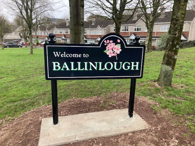
Among the earliest written references to the townland and then village of Ballinlough date from 1601 (as “Ballinlogha”) in the Calendar to Fiants of reign of Henry VIII, and from 1655 (as “Ballinloghy”) in the Down Survey.
These Irish language names (Baile an Locha, the town of the lake) reflected the position of the village focal-points (including Ballinlough House and the original Ballinlough school), close to Lough Mahon and the Douglas River Estuary.
The Ballinlough Stone, a standing stone near Ballinlough House, was surveyed by antiquary Thomas Crofton Croker in the early 19th century.
Later archaeological surveys of the stone question whether its origins are prehistoric, or if it is a less ancient boundary marker.
In the 19th century, land use in the area was mainly focused on farming and market gardening.
The larger farms were managed from estate houses including Ballinlough House, Ardfallen House, Thorn Hill House, and LakeVille/Ravenscourt.
From the early 20th century, with Cork city expanding east, and the village expanding west, the area became more suburbanised.
This included the building of housing developments during the 1920s and 1930s in the neighbouring and sub-townlands of Browingstown, Coppingers Stang, and Knockrea.
Early 20th century censuses however still recorded 17 market gardeners in the area.
With the construction of a new church in 1938, two additional schools in 1944 and 1965, and a later community centre, the focal-points of the (now) suburb shifted westward towards the city.
Previously separated by remaining green belts and outside the city’s administrative area, Ballinlough is now within the Cork City Council administrative boundary and zoned as a suburban residential area.

Ballinlough OS Survey Map 1902
(Source: Wikipedia)

